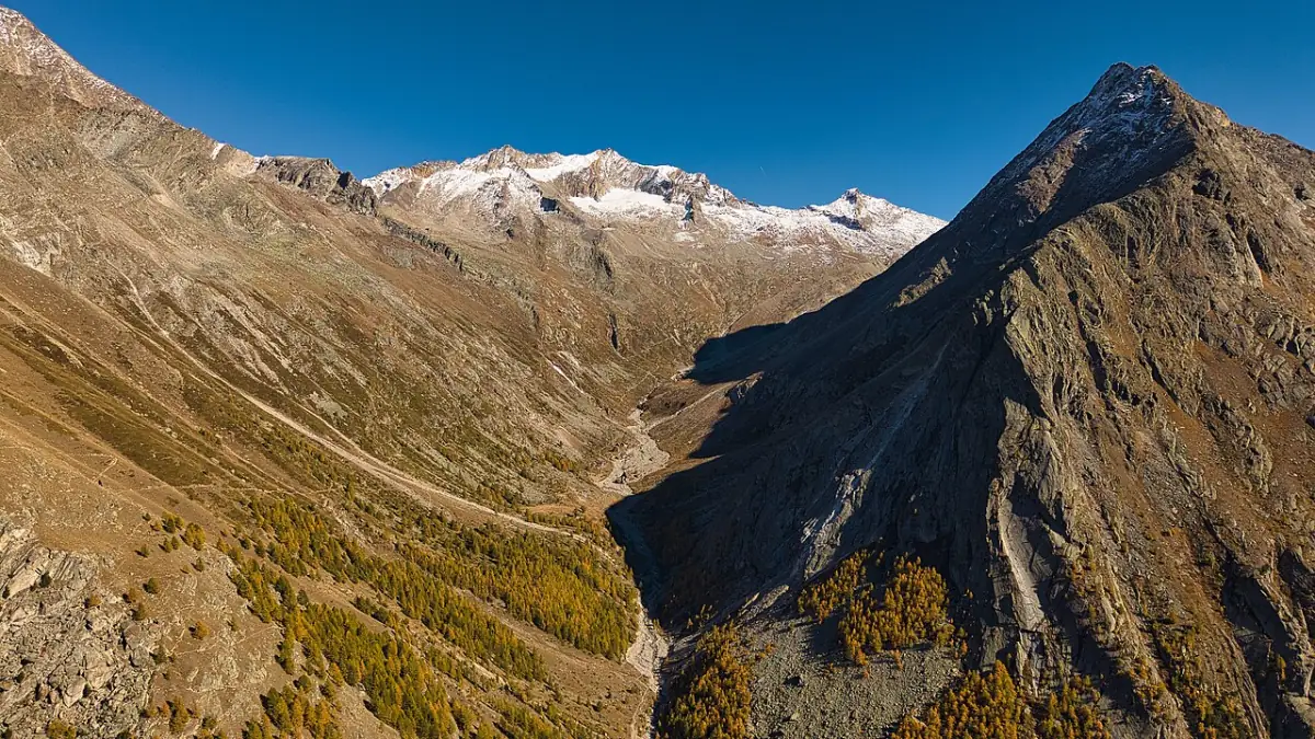
Saas-Almagell Adventure Trail
The Saas-Almagell Adventure Trail (Erlebnisweg) from the Furggstalden area toward Almagelleralp is a short but serious alpine path with suspension bridges and secured rock. Tourism partners rate it difficult (T4). It needs sure-footedness and a head for heights — it is not a default “easy family walk.”
The Almagellertal above Saas-Almagell — context for high walks toward Almagelleralp.
Some hotel links are affiliate links. We may earn a commission at no extra cost to you. Read the disclosure.
Direct suitability answer
Choose the Saas-Almagell Adventure Trail (Erlebnisweg) if your group is comfortable with exposure, narrow secured sections, and suspension bridges over gorge terrain. Choose a different walk if anyone is uneasy with heights, if you need stroller-compatible paths, if you are travelling with a dog, or if you wanted a casual hamlet stroll at Furggstalden without alpine difficulty.
Official destination pages highlight the Adventure Trail as a signature Saas-Almagell experience. Marketing attention is not the same as “easy.” Partner route listings rate the path T4 / difficult. Valais Tourism describes two footbridges — commonly cited as 60 m long (about 9 m above ground) and 45 m long (about 12 m high) — on the route around the Almagellerhorn. Those numbers help you picture stomach-drop moments; they do not replace reading on-site signage and current closure status.
This page supports go / no-go decisions and points to official listings. It is not a turn-by-turn guidebook, not live status, and not a substitute for mountain judgment when weather deteriorates.
Key facts from partner and tourism sources (verify on the day)
| Topic | Published planning figures |
|---|---|
| Start concept | From the Furggstalden chairlift mountain area toward Almagelleralp |
| Distance / time | About 2.8 km, about 1:30 h (Outdooractive / Saastal partner listing) |
| Ascent | About 386 m on that listing |
| Difficulty | T4 / difficult |
| Highlights | Two suspension bridges; panoramic Saas Valley views and gorge outlooks per Valais Tourism |
| Dogs | Not suitable (Valais / partner guidance) |
| Children | Adult accompaniment; approximate minimum age guidance ~6–7 with sure-footedness and no fear of heights |
Listings can show open/closed status seasonally. Check official openings for Saas-Almagell for lift access to the start area, then confirm the live route page (for example Outdooractive partner listing cited in frontmatter) before departure. Bridge lengths occasionally vary slightly across English/German tourism variants — treat minor discrepancies as a signal to read the operator page active on your date.
How the route is usually framed
Partner descriptions commonly start at the Furggstalden mountain station, pass through forest, and traverse around the Almagellerhorn via features named Hohlerch and Mittli Flüe, finishing toward Almagelleralp. Tourism copy mentions escape options — for example descending from Mittli Flüe toward Saas-Almagell — but only use signed alternatives you can identify on a current map. Do not shortcut across unsecured slopes because a paragraph mentioned an escape concept years ago.
Continuations toward Kreuzboden, hut objectives, or multi-peak days are separate commitments with their own grading, timing, and ticket needs. The Adventure Trail can be a complete outing that ends at Almagelleralp restaurant/hotel context (~2,194 m in tourism copy) when open — still not a trivial add-on if you are already tired at the bridges.
Exposure, equipment, and T4 meaning in plain language
Swiss hiking grades treat T4 as a difficult mountain footpath: hands may be needed on secured sections, falls have consequences, and route finding assumes map literacy. The Adventure Trail adds engineered bridges and cables/fixtures in rock passages on partner descriptions, but “secured” does not mean “safe for everyone.”
Footwear with grip and stiff enough soles for rock steps is baseline. Via ferrata kits are not automatically required on every listing, but follow on-site signage and current operator advice rather than improvising from this article. If ice, snow, or storm residue is present outside midsummer, difficulty effectively increases even if marketing still shows summer photos.
Weather windows matter. Afternoon thunderstorms are a routine alpine planning risk in the Saas Valley summer — see Summer. Starting early from the village, riding the Furggstalden lift when operating, and finishing before clouds build is standard conservative planning.
Lift dependency at the start
Most visitors reach the trailhead via the Saas-Almagell → Furggstalden chairlift (~5 minutes in official copy when operating). Without the lift, access becomes a different hike you must research independently. Confirm lift status before you tell companions the trail is definite.
SaastalCard partner guests may have pedestrian cable cars included from the first overnight stay excluding Metro Alpin — details on SaastalCard. Lift inclusion does not override trail closure notices.
Family and group decision checklist
- Honest talk about fear of heights — bridges are the emotional core of the route.
- Footwear and fitness — short distance still packs ~386 m ascent on listings.
- Lift status for Furggstalden — open facilities.
- Turnaround plan if someone freezes on a bridge — turn back is OK; shame-free retreat beats coercion.
- Backup easy activity — hamlet time at Furggstalden, Mattmark another day, or village playground when open.
- Dogs — leave them out of this plan per Valais guidance; do not assume other trails allow them either without checking.
More age-band framing: Families.
Separate this from nearby experiences
| Experience | Role |
|---|---|
| Furggstalden | Hamlet, restaurants, monster scooter / mystery trail when open |
| This trail | Exposed adventure path with bridges |
| Heidbodme | Lift panorama lunch — no bridges required |
| Mattmark reservoir circuit | Easier shoreline outing when open — different valley head |
| Almagelleralp approaches without bridges | Different routes — verify grading independently |
| Saas-Fee glacier / Metro Alpin products | Different resort — label travel honestly on day trips |
Comparison with “easier” Saas-Almagell walking
Mattmark’s lakeside circuit is frequently the first hike planners choose when Valais Tourism describes modest height gain and west-shore accessibility notes for part of the loop — still not uniform stroller terrain for the entire 8 km circuit. Furggstalden hamlet paths you have verified separately may suit mixed ages. The Adventure Trail is the outlier in exposure among commonly marketed Saas-Almagell names. Putting it on day one without acclimatisation or leg warmup increases risk.
If the trail is closed
Operators may close the route for maintenance, wildlife, rockfall, or seasonal windows. Closure should trigger plan B, not “doing it anyway.” Official listings and on-site barriers exist for a reason. A closed Adventure Trail day can still be a good Furggstalden / Heidbodmen lift day or Mattmark outing.
Winter warning
This page describes a summer/autumn mountain footpath. Winter snow, avalanche risk, and different marking make summer bridge marketing irrelevant. Do not reuse this advice for winter pedestrian routes — see Winter and designated winter hiking guidance.
Planning sequence (example)
Evening before: Check lift and route status pages; read weather forecast; confirm group readiness.
Morning: Village lift to Furggstalden; bathroom and snack; start trail with map.
On trail: Keep children within arm’s reach on bridges; turn back if storms approach.
End: Almagelleralp meal only if restaurant open and time allows; otherwise descend via signed return you researched.
After: Low-key evening — altitude days drain energy.
Adjust every step if status pages disagree.
Common mistakes
- Booking the trail because the village homepage mentions “Adventure Trail” in the same breath as playground and minigolf.
- Assuming 2.8 km means toddler distance.
- Bringing a dog because other Swiss trails allow leashed dogs.
- Skipping lift timetable checks and missing last chairs after a slow group on bridges.
- Treating Instagram photos as proof of today’s dryness underfoot.
Almagelleralp as finish context
Tourism frequently pairs the Adventure Trail with Almagelleralp mountain hotel/restaurant imagery (~2,194 m in official copy). A meal there can cap the outing when the kitchen is open, but time and energy after bridges matter. Groups that linger on photography at each bridge may arrive late for service or face incoming weather. Treat the restaurant as optional, not guaranteed logistics.
If you continue beyond Almagelleralp toward Kreuzboden or hut networks, you leave the scope of this trail page entirely — see Almagelleralp and official maps.
Acclimatisation and pacing
Saas-Almagell village sits at 1,672 m in destination copy. Furggstalden and the trail add more altitude quickly via lift plus ~386 m ascent on listings. If you flew into Switzerland yesterday, consider gentler Mattmark or hamlet days before T4 exposure. Headaches and nausea increase poor footing — a safety issue on bridges.
Guided vs self-guided
This page neither requires nor discourages hiring a guide; it notes that self-guided groups must supply their own map literacy and retreat discipline. If children participate near minimum age guidance (~6–7 in Valais copy), adult counts should reflect one-on-one supervision on bridges, not distant supervision from a picnic table.
What official Saas-Almagell pages imply (and what they do not)
The village destination page lists the Adventure Trail beside playground and minigolf ticks. That layout is useful marketing — it is dangerous planning if read as one difficulty band. When explaining the trip to grandparents who stay in the village, give them a hamlet address and return time, not “we are on the adventure trail” without context. Playground and Pit-Pat are facility products with their own hours; the Adventure Trail is a mountain footpath with T4 grading. Keep those mental folders separate when children scan the homepage.
Suonen Trail and other walks (what not to conflate)
Official Saas-Almagell pages also mention the Suonen Trail toward Saas-Grund and historic pass approaches. Those names sit beside Adventure Trail marketing but are different route commitments. Until this site publishes a Suonen page with mapped evidence, use Hiking and operator route data rather than assuming one brochure page implies uniform difficulty.
Pairing with SaastalCard stays
Partner guests often reach Furggstalden on included cable cars while the trail itself remains free to walk when open. That saves ticket friction but does not shorten the physical difficulty. Cardholders still need weather judgment and time management identical to pay-per-ride visitors. Arrival-day card start rules mean your first full hiking day may be the day after check-in — confirm property briefing.
Reporting and safety culture
Swiss alpine trails depend on maintained fixtures and respectful use. Do not swing or bounce on suspension bridges; follow one-way instructions if posted during maintenance windows. If you observe damaged cables or missing boards, report through official mountain service channels rather than assuming someone else did.
Honesty limits
Sources cited in frontmatter were checked 2026-10-20. This site does not publish live open/closed flags, does not assert firsthand bridge crossings, and does not guarantee booking inventory for guides or equipment rentals. When English and German tourism pages disagree on minor bridge dimensions, verify on the Valais or Outdooractive page current for your hike date.
Related
- Hiking hub — compare route types across Saas-Almagell
- Summer · Things to do · Where to stay
- Valais reference: Suspension footbridges of Saas-Almagell
Bridge photography stops should never block one-way flow during high season.
Rescue mindset and group communication
Exposed trails punish silence. Agree turnaround rules before the first bridge: anyone uncomfortable can reverse with a buddy rather than being talked into continuing. Carry a charged phone, but do not assume coverage in every fold of the Almagellerhorn. Tell your accommodation your rough plan and expected return window.
If conditions deteriorate — wet rock, strong wind on bridges, or an unexpected closure mark — treat retreat as success. The trail will still be there on a better day, and Saas-Almagell has lower alternatives that do not require T4 confidence.
Bookable ideas
Tours & activities in the region
Some hotel links are affiliate links. We may earn a commission at no extra cost to you. Read the disclosure.
- Hiking
Alpine hiking around Saas-Almagell
Valley walks, reservoir loops and higher options — timing depends on lift and bus operations.
- Confirm departure town and season on the partner page
- Recheck weather and lift status on the day
- Not a substitute for local mountain advice
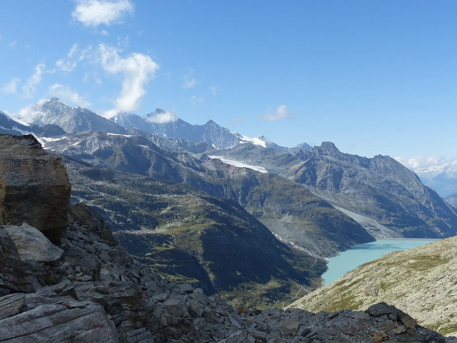 Viewpoints
Glacier and high-mountain viewpoints
High viewpoints often route via Saas-Fee — clarify meeting point before you pay.
- Meeting point is not always your hotel village
- Check fitness and family fit on the listing
- Read cancellation terms with the provider
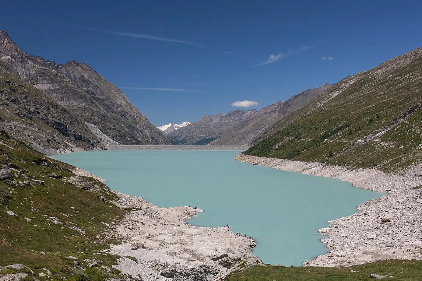 Day trip
Mattmark and valley day outings
Reservoir days and village hops — some transfer products start far from Almagell.
- Confirm seasonal bus and road access
- Verify departure town in the ticket text
- Independent PostBus options remain available
 Winter
 days in the Saas Valley
Ski and winter products often list Saas-Fee — confirm pass, meeting point and kit before payment.
- Not a live piste or avalanche bulletin
- Budget transfer time to the meeting point
- Use only attributed partner links from this site
See all regional tours & tickets →
Browse live listings
Loading live listings…
Planning questions
How long is the Adventure Trail?
Partner route listings commonly cite about 2.8 km and around 1.5 hours with roughly 386 m of ascent toward Almagelleralp. Confirm the live listing and conditions before you go.
Is it suitable for children?
Valais Tourism notes suitability from about age six or seven only with adult accompaniment, plus sure-footedness and no fear of heights. It is not suitable for dogs per the same guidance.
Does the trail need via ferrata gear?
Listings describe well-secured rock passages and rate difficulty T4. Follow on-site signage and current operator advice rather than improvising equipment assumptions from this page.